
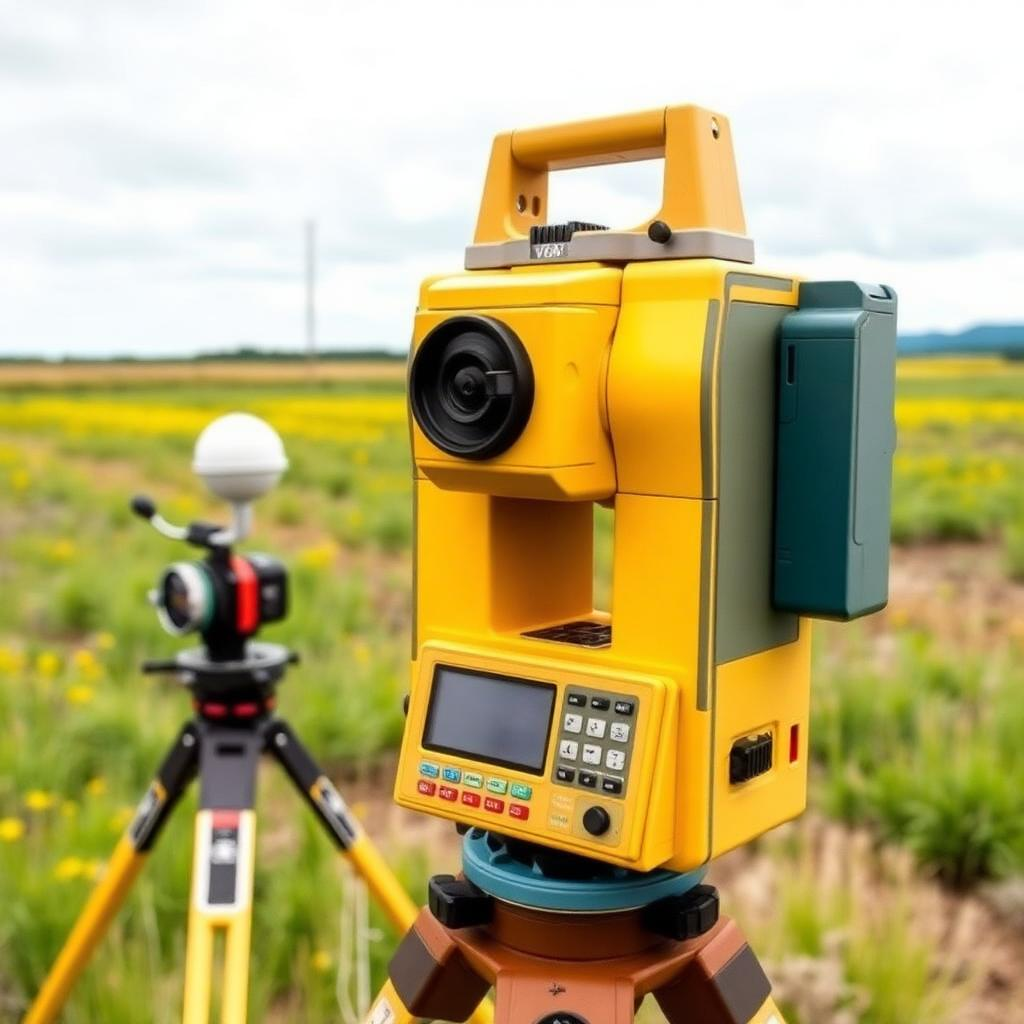
Equipment & Accessories
Best-fit hardware for reliable data collection in the field.
Explore equipment →GEOSPATIAL INTELLIGENCE • EARTH OBSERVATION • ADVISORY
ENKORP delivers reliable geospatial data, tailored strategy and fit-for-purpose hardware — from research to operations.
End-to-end geospatial solutions combining technology, strategy and data.
Best-fit hardware for reliable data collection in the field.
Explore equipment →Strategy, adoption, research and implementation.
Explore consultancy →Premium imagery, elevation models and derived products.
Explore data →Collaborative implementation for measurable, long-term impact.
Why ENKORP →We source, configure and support equipment selected around accuracy, workflow and operational context.
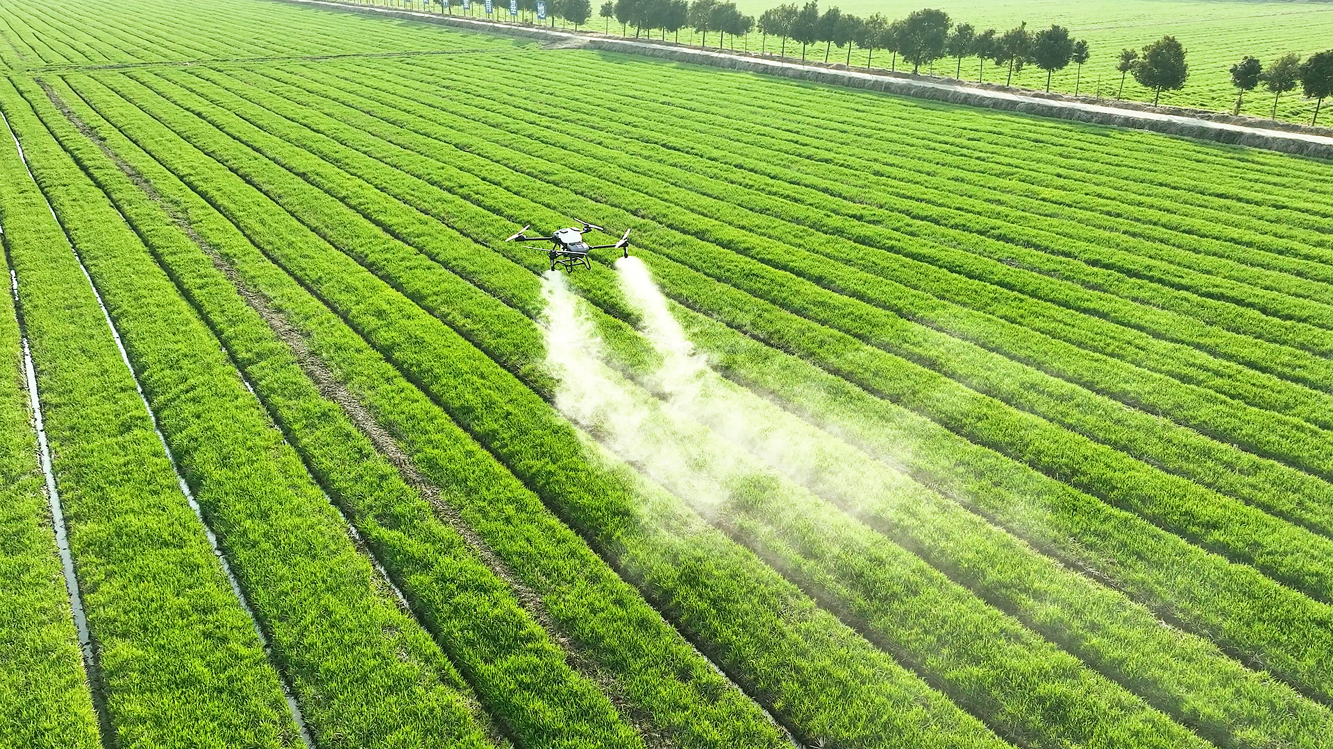
Camera, multispectral and red-edge sensors, batteries, propellers and field spares.
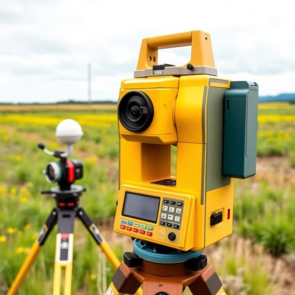
Professional receivers, mobile base and rover stations for precision positioning.
Accelerated compute for artificial intelligence, modelling and high-volume geospatial workflows.
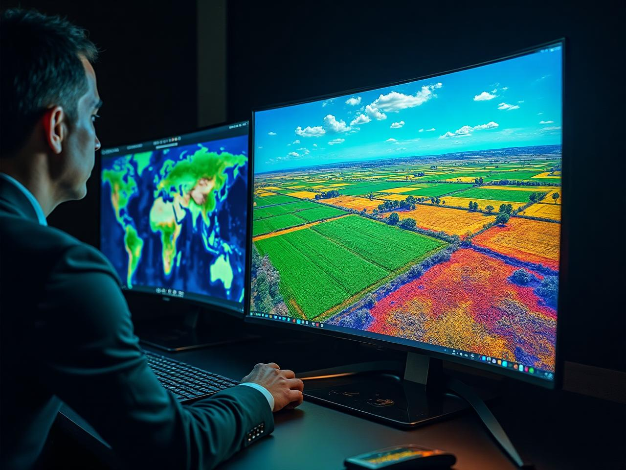
Procurement, configuration, deployment support and on-site training so equipment is mission-ready.
Move from pilots, spreadsheets and disconnected data into production-grade spatial systems.
Unlock the power of GIS and move from pilots and spreadsheets to production-grade spatial systems.
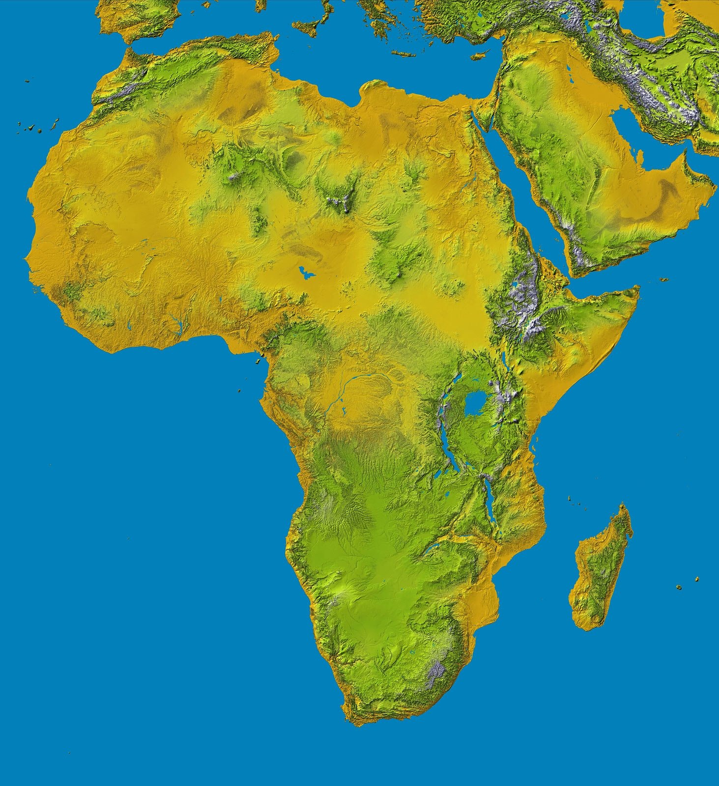
Craft a pragmatic, business-driven geospatial strategy aligned to organisational goals.
Bridge the gap between geospatial research and operational delivery.
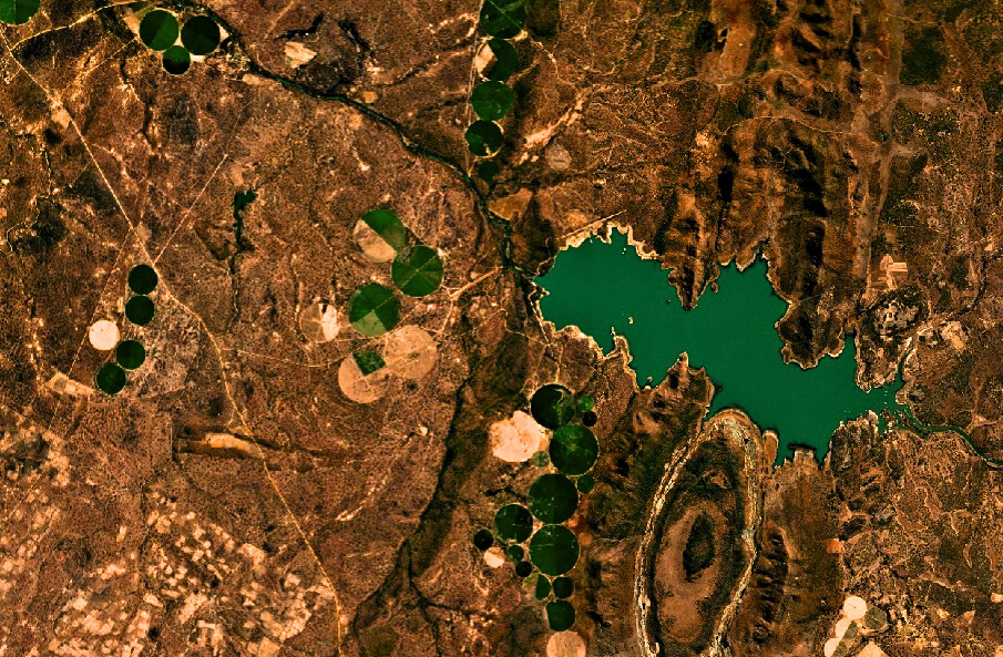
Access high-frequency, high-precision imagery and elevation data without procurement headaches.

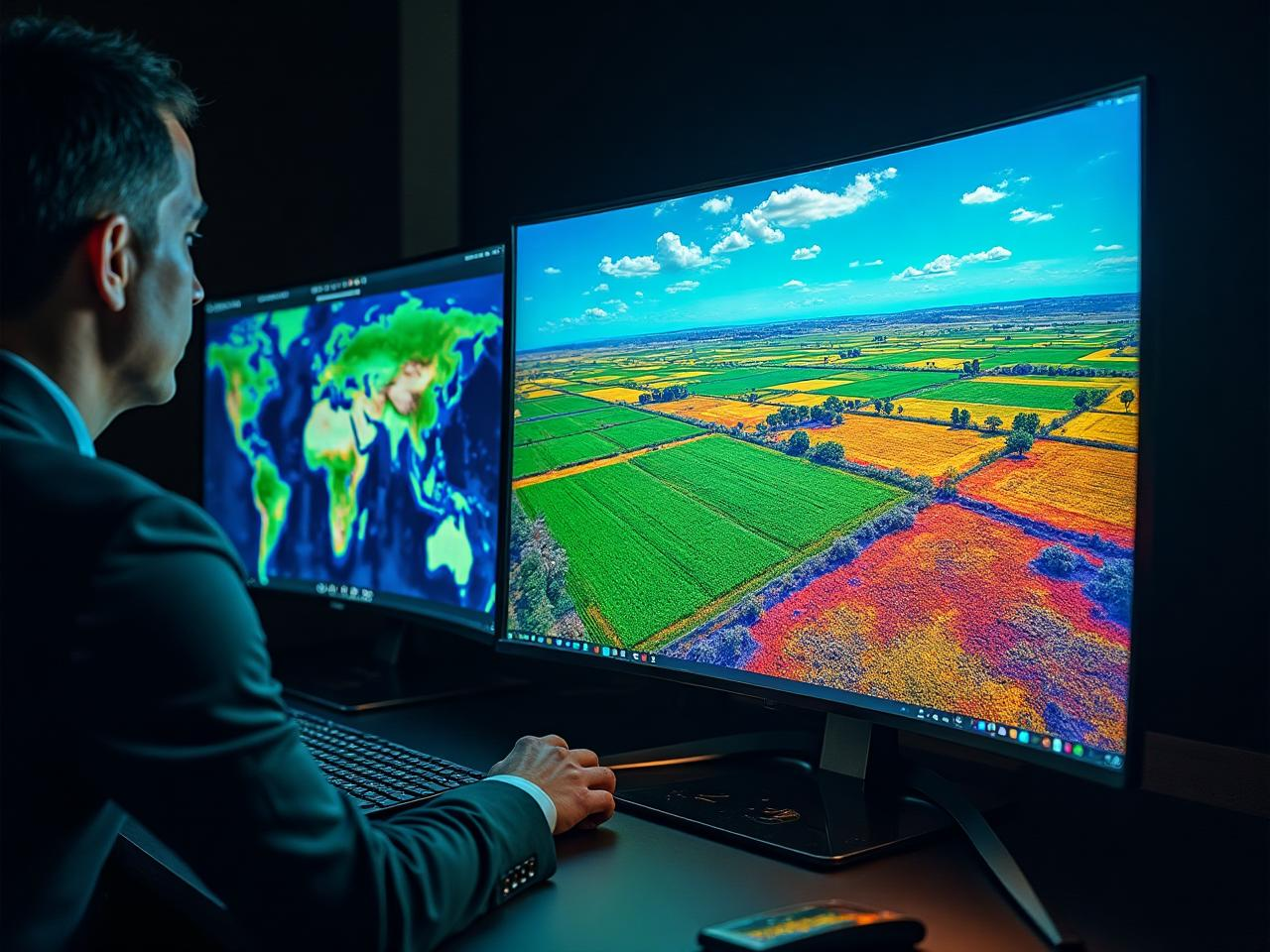
Turn complex spatial datasets into dashboards, risks, trends and actionable management intelligence.
High-frequency imagery, elevation products and advanced sensing options can be delivered as API feeds, hosted tiles, analytic-ready mosaics or custom tasking.
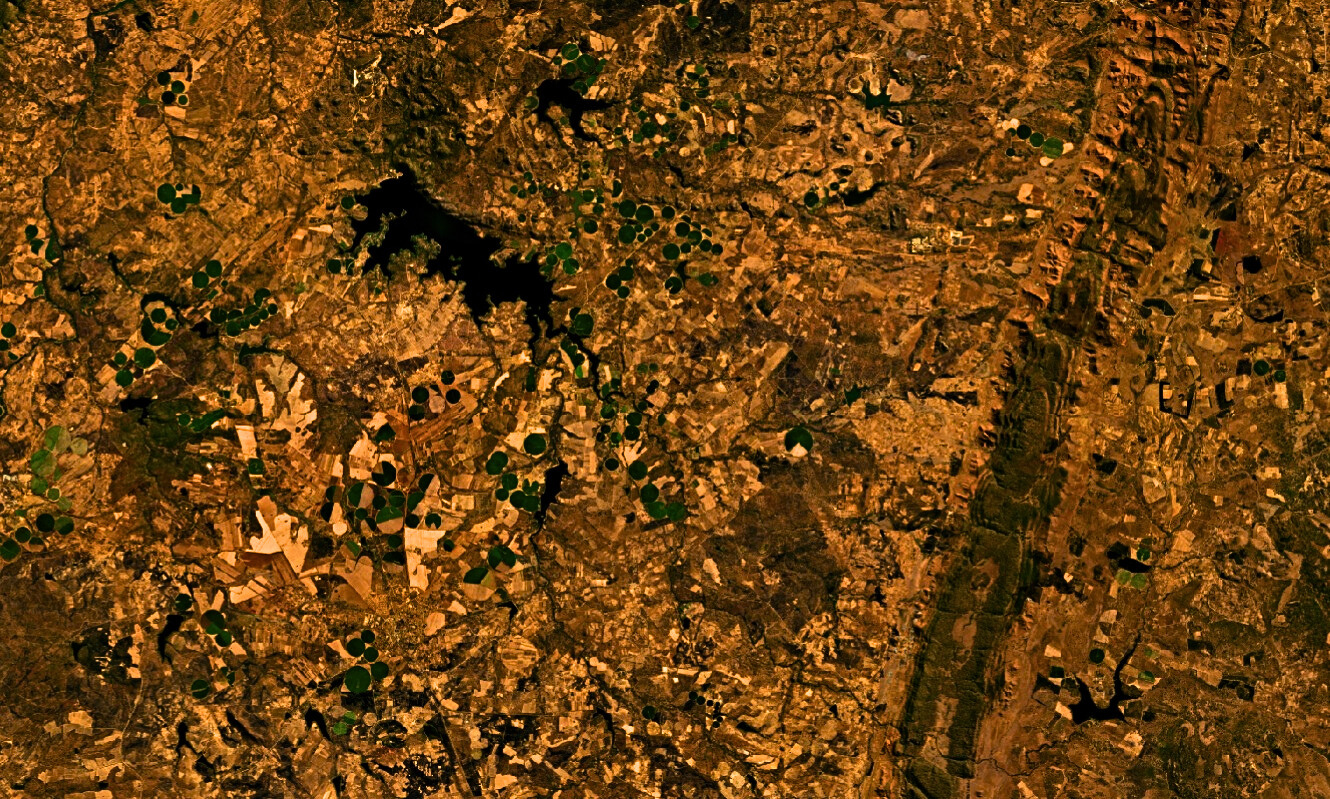 AGRICULTURAL MONITORINGCHANGE DETECTIONELEVATION MODELLING
Practical use cases supported by spatial data, Earth Observation and field technology.
Crop monitoring, field intelligence and parcel-level analytics.
Repeat observation to identify environmental and asset change.
Surveying, asset context, mapping and spatial monitoring.

Food security, disaster resilience and environmental intelligence.
EO + AI products for area and parcel-level decision support.
We combine technical advisory with hands-on delivery and a practical path to operational value.
From hardware to strategy, models and operational delivery.
We do not just produce papers — we build operational systems.
Curated partners for specialised hardware and imagery.
Solutions designed for your sector, users and constraints.
Climate, food security and disaster resilience collaboration.

ENKORP combines technical advisory with hands-on delivery — advising on the right resources and then sourcing and integrating them through a network of trusted providers.
We partner with organisations that want measurable, long-term impact and geospatial capability that survives beyond a single project.
Tell us what you are trying to achieve and where data, technology or field hardware needs to fit.